Beginning-of-the-year map skills activities are a great way to ease students into social studies while reviewing geography concepts they will use all year. Students get a chance to move, talk, and work together, and you get an early look at what they already know.
That last part is especially helpful because map skills can be all over the place at the beginning of the year. Some students can use latitude and longitude without much trouble, while others are still mixing up east and west. Even students who have learned these skills before usually need a quick refresher.
The good news is that a map skills review does not have to mean spending the first week of school working through a packet. These simple activities can help you review the basics while also teaching classroom routines and getting students excited about social studies.
1. Begin With a Map of the School
One of the easiest ways to introduce map skills is to start with a place students already know.
Display a map of your school if you have one, or sketch a simple version on the board. Ask students what would need to be included to make the map useful to a new student. They will usually mention classrooms, hallways, bathrooms, the cafeteria, and the main office.
From there, begin introducing the parts of a map. Where should the compass rose go? What symbols could represent different locations? Would the map need a legend? How could someone use it to find the shortest route from the cafeteria to the gym?
This works well because students are thinking about map features in a real situation instead of simply memorizing definitions. It also gives you an easy way to introduce the idea that maps are created for a purpose.
2. Turn Your Classroom Into a Compass Rose
Compass directions are simple until students actually have to use them. I have seen plenty of students correctly identify north on a worksheet and then completely lose track of direction when looking at a classroom map.
A quick movement activity can help.
Label the four walls of your classroom north, south, east, and west. Call out a direction and have students point or turn toward the correct wall. Once they are comfortable with the cardinal directions, begin adding northeast, northwest, southeast, and southwest.
You can make the activity a little more challenging by giving directions based on classroom objects. Ask students which direction they would travel to move from the door to the teacher’s desk or from the pencil sharpener to the classroom library.
It takes only a few minutes, but it gives you a quick sense of which students understand direction and which ones need more practice.
3. Use a Map Skills Gallery Walk
A gallery walk is one of my favorite beginning-of-the-year social studies activities because it gets students moving without becoming chaotic. It also gives you a natural opportunity to practice procedures like rotating between stations, working with a partner, and recording information independently.
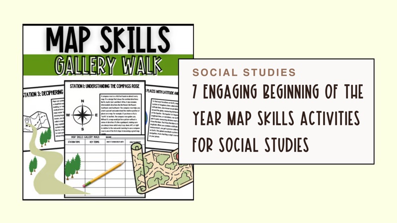
This free Beginning of the Year Map Skills Gallery Walk includes six stations covering the compass rose, latitude and longitude, map symbols and legends, physical maps, political maps, and topographic maps. Students read each station and use the included recording sheet to identify key vocabulary, explain what each map tool shows, and describe how to recognize it. An answer key is also included.
Get the Free Map Skills Gallery Walk on TPT
I like using a gallery walk for this review because the information is broken into manageable pieces. Students are not staring at a long geography passage or copying a full page of vocabulary. They focus on one map skill at each station and then move on.
The activity can also serve as an informal assessment. While students rotate, listen to their conversations and pay attention to the questions they ask. You will quickly notice which concepts are familiar and which ones may need a little more attention.
After the gallery walk, bring the class back together and review the six topics. You can ask students which map skill they think will be most useful in social studies and why. Their answers are often a good preview of how comfortable they are with maps.
4. Let Students Become Map Detectives
Students tend to pay more attention to a map when they are looking for clues.
Display a map without immediately explaining what type it is. Ask students to study its colors, labels, symbols, and physical features. Based on those clues, can they determine whether it is a political, physical, or topographic map?
Encourage students to explain their reasoning instead of simply naming the map type. A student might notice that state borders and capital cities suggest a political map. Another might point out mountains, rivers, and changes in elevation on a physical or topographic map.
This is a simple way to move beyond vocabulary definitions. Students have to apply what they know and use evidence from the map.
You can repeat the activity with several different maps or allow partners to discuss each one before sharing their answers. It also works well as a quick warm-up during the first few weeks of school.
5. Compare Different Types of Maps
Students sometimes assume that one map should show everything they need to know about a place. Comparing several maps of the same area helps them understand why different types of maps exist.
Show students a political map and a physical map of the same state, country, or continent. Ask them what information appears on both maps and what is different.
Then give them a few situations and ask which map would be most useful. Which map would help someone locate a mountain range? Which one would help a traveler identify state borders? Which map might be useful to someone studying elevation?
The discussion helps students understand that the “best” map depends on the question they are trying to answer.
This idea will come up repeatedly throughout the year. Whether students are studying ancient civilizations, U.S. history, or world geography, they need to know how to choose the right map and interpret the information it provides.
Those geography skills also support later units on migration and settlement, including these early human history activities for 6th grade.
6. Have Students Create a Map
Once students have reviewed the parts of a map, let them create one of their own.
They could make a map of the classroom, the school, their neighborhood, an imaginary island, or a fictional country. The topic does not matter as much as the map features they include.
Rather than handing students a long checklist, discuss the expectations together before they begin. Their maps should have a title, a compass rose, symbols, a legend, and clearly labeled locations. Depending on the grade level, you might also ask them to include a scale or coordinate grid.
As students work, ask them why they chose certain symbols or where they decided to place important features. Those conversations can tell you much more about their understanding than a completed worksheet.
This also makes an easy classroom display for the beginning of the year. Students enjoy looking at one another’s maps, especially when they are allowed to create an imaginary place.
7. Finish With a Quick Map Challenge
You do not need a formal test to find out whether students are ready to move on.
Finish your map skills review with a short challenge using a map projected on the board. Ask students to identify the map type, use the legend, locate a place using directions, or explain what a particular symbol means.
You can have students respond on paper, hold up small whiteboards, or discuss their answers with a partner. Keep it quick and focus on the skills students will use most often in your class.
The goal is not to make every student a geography expert during the first week of school. You simply want to make sure they have the foundation they need before maps begin appearing in readings, activities, and assessments.
Start the Year With Strong Map Skills
Taking a little time to review map skills at the beginning of the year can prevent a lot of confusion later. Students need to understand how to use directions, legends, symbols, coordinates, and different types of maps before they can successfully apply those skills to history and geography.
These activities also give you more than a map skills review. Students practice working with partners, moving between stations, participating in discussions, following directions, and completing independent work.
That is why the free Beginning of the Year Map Skills Gallery Walk works so well during the first week of social studies. It reviews the essential geography skills students need while helping you introduce the classroom routines you will use throughout the year.
Download the Free Gallery Walk on TPT
And during those busy first few days of school, having one useful activity already planned and ready to print is never a bad thing.